
With much thanks due to Deryk Wylde the ISDT historian and classic off road motorcycle journalist I have now taken ownership of the original Clerk of Course OS 1″ maps used by the route markers. Hopefully apart from now being preserved for ever they can help update the course mapping we have and be shared with ISDT historians.
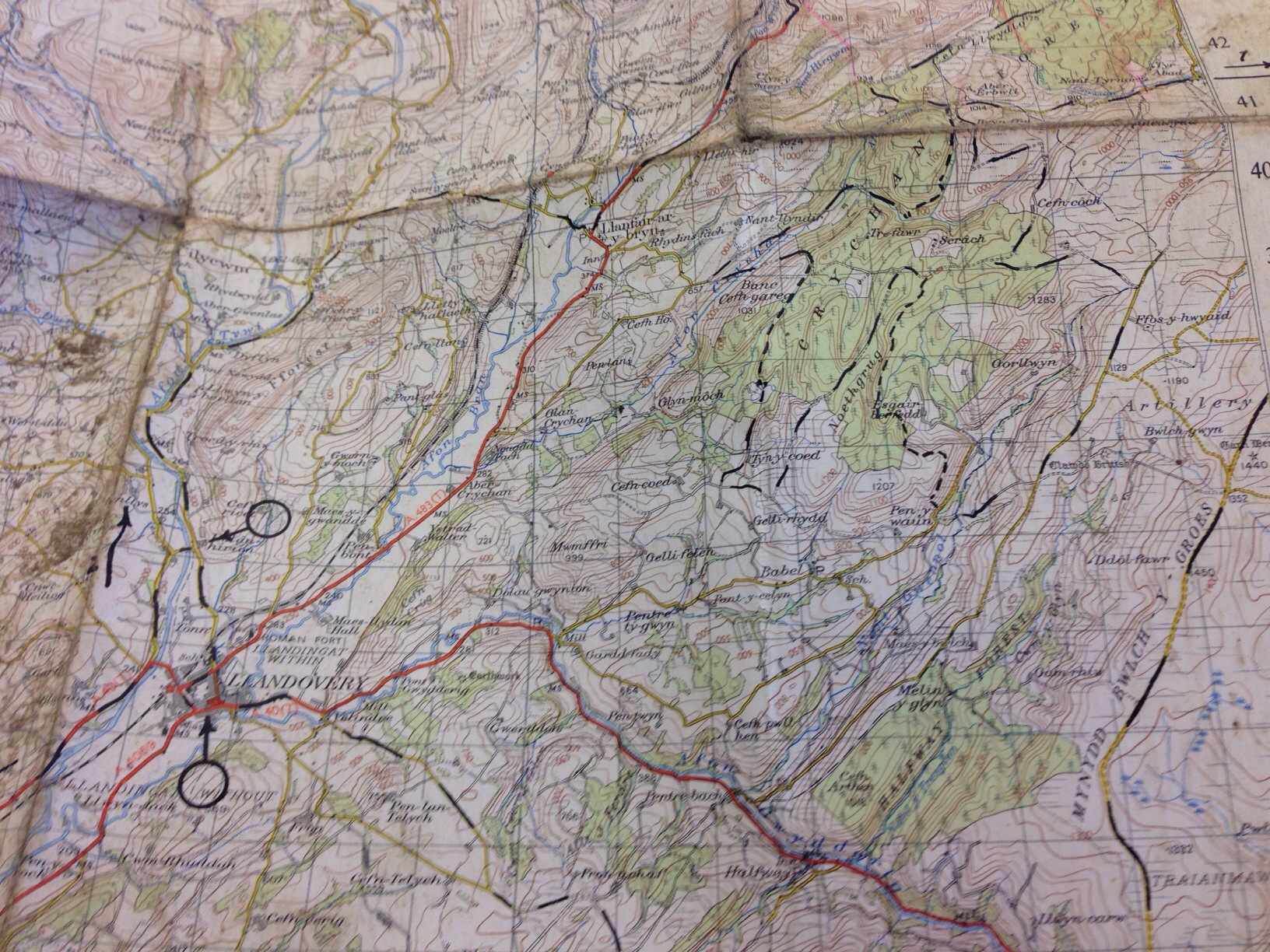
Map of ISDT 1954 in the Crychan Forest area of the Brecon Beacons
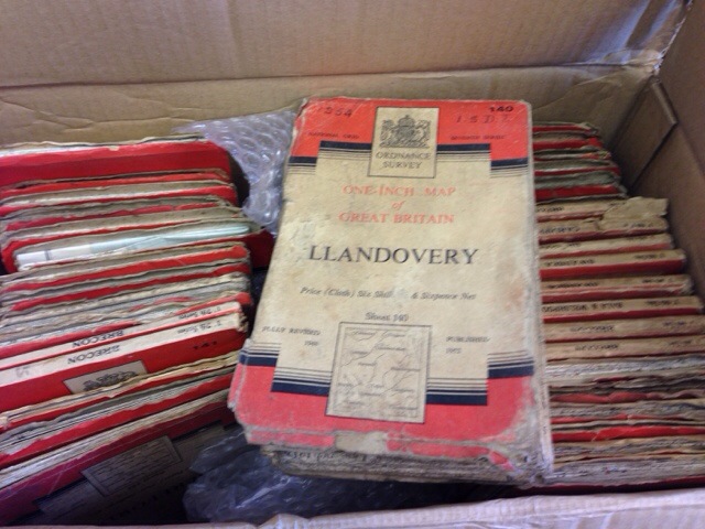
Image – the box of maps used but the course markers ISDT 1951 / 54

Hi, I’ve only just found your site and what a site it is. Excellent work. I’m only an ordinary trail rider and one time trails rider now living in South Wales doing the occasional long distance trial. I’m a TRF and GLASS member and have been working on both organisation’s green road map projects. I’m wondering if you know whether any of the Welsh ISDTs routes have been mapped onto a gpx format? I see mentioned of it and that of Google Earth but can not see any links or further reference. I have ridden a lot of the green roads in the Welsh ISDT area and would love ride the routes. If it does not exist or you would like help plotting it into a modern format maybe that is something I could help with having myself plotted many gpx routes in Wales.
Many thanks.
Kelvin