
Tags
Ammanford, Clydach, Crai, Crickhowell, Dorstone, Eardisley, Hay on Wye, Heol Seni, Hirwaun, ISDT 1938, Llandeilo, Llandovery, Llangattock, Merthyr Tydfil, Pontardawe, Pontarddulais, Rhigos, TalyBont on Usk, Vaynor, Ystalyfera, Ystradfellte, Ystradgynlais
The ongoing mapping of the ISDT route and the availability of Google Streetview makes it fairly easy to see the locations that featured on the route maps as Checkpoints, Fuel and Lunch Stops and other intermediate points. Here we are following the route of the ISDT 1938 as set out in our article on mapping the ISDT 1938
Below are a collection of images taken of the route and hopefully more can be added as the route is revisited by those interested with the history of the ISDT.
Day 1
After the start in Llandrindod Wells at 6.00am there was an introductory check at 1 ½ miles (2.5km) at 7 ¼ miles (11.7km) the riders crossed the river bridge at Cregrina.
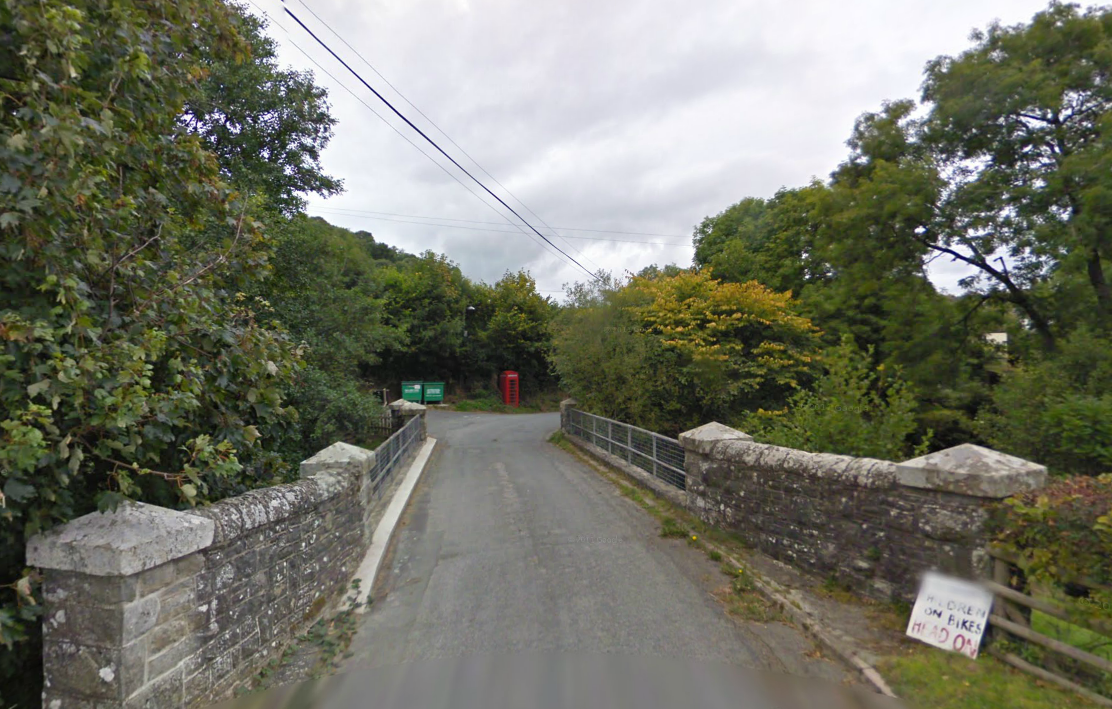
Photo – River bridge at Cregrina on route Day 1 ISDT 1938 (Google Streetview)
